


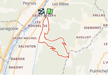
LES MEES .Chapelle St Pierre , la Bressanne , la Bessonne o l s

RobinMicheline
User GUIDE

Length
14.8 km

Max alt
739 m

Uphill gradient
373 m
Km-Effort
19.8 km

Min alt
427 m

Downhill gradient
373 m
Boucle
Yes
Creation date :
2020-04-01 05:05:40.406
Updated on :
2020-04-01 16:16:35.943
3h23
Difficulty : Easy

FREE GPS app for hiking
 SityTrail
IGN / Geographical institutes
SityTrail Plus
The world is yours!
About
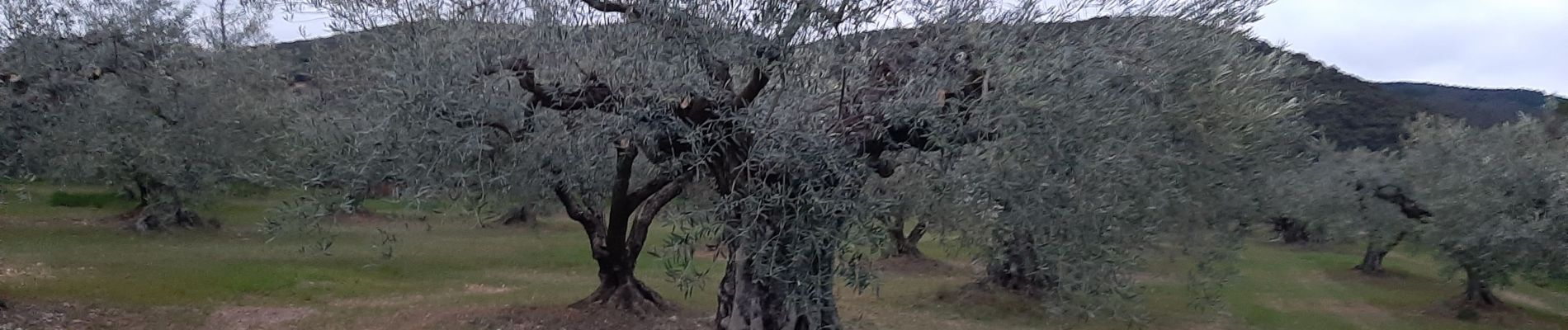
Trail Walking of 14.8 km to be discovered at Provence-Alpes-Côte d'Azur, Alpes-de-Haute-Provence, Les Mées. This trail is proposed by RobinMicheline.
Description
Agréable, facile
Photos


Positioning
Country:
France
Region :
Provence-Alpes-Côte d'Azur
Department/Province :
Alpes-de-Haute-Provence
Municipality :
Les Mées
Location:
Unknown
Start:(Dec)
Start:(UTM)
737215 ; 4878057 (31T) N.
Comments